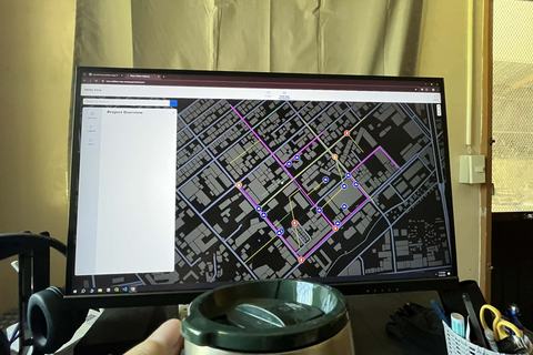
InfraLens — CAD to GIS for Water Utilities
A CAD-to-GIS workflow for transforming water utility drawings into structured, connected, and map-ready infrastructure data. InfraLens bridges engineering CAD drawings and GIS so pipes, valves, meters, and other network assets can become usable spatial information for utility operations.
- autocad
- django
- maplibre