Centralize LGU WebGIS
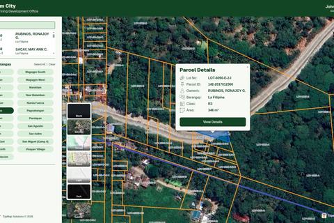
A centralized GIS platform connecting 1,000+ personnel across city offices. It transforms scattered spatial data into one controlled, accessible, and up-to-date source for the entire LGU.
- codex
- django
- qgis
Joshua De Leon / Portfolio
Explore my GIS and WebGIS work through source data, technical decisions, and delivered outputs. My freelance focus is CAD-to-GIS, land parcels, and interactive masterplan maps.
Featured
A centralized GIS platform connecting 1,000+ personnel across city offices. It transforms scattered spatial data into one controlled, accessible, and up-to-date source for the entire LGU.
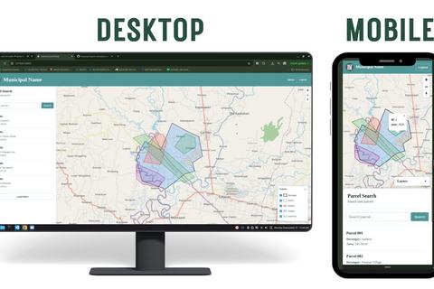
A production-ready CAD-to-GIS workflow that converts fragmented AutoCAD parcel data into structured, searchable GIS data for local government land information management.