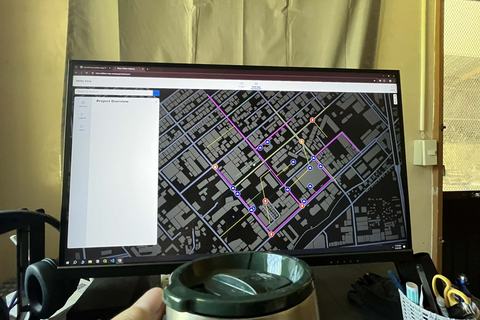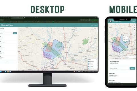
Centralize LGU WebGIS
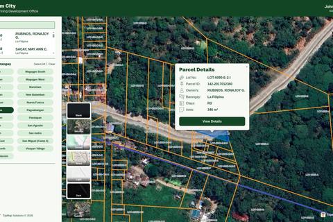
A centralized GIS platform connecting 1,000+ personnel across city offices. It transforms scattered spatial data into one controlled, accessible, and up-to-date source for the entire LGU.
- codex
- django
- qgis
Joshua De Leon / Portfolio
Explore my GIS and WebGIS work through source data, technical decisions, and delivered outputs. My freelance focus is CAD-to-GIS, land parcels, and interactive masterplan maps.
Featured
A centralized GIS platform connecting 1,000+ personnel across city offices. It transforms scattered spatial data into one controlled, accessible, and up-to-date source for the entire LGU.
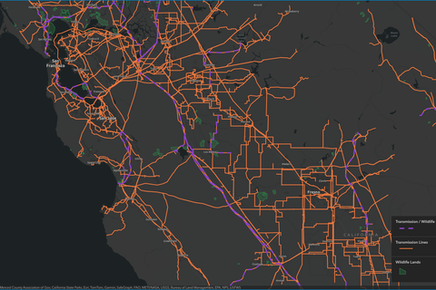
An AI-assisted GIS application for analyzing the relationship between electrical transmission infrastructure and wildlife / public-access lands in California's San Joaquin Valley.
A production-ready CAD-to-GIS workflow that converts fragmented AutoCAD parcel data into structured, searchable GIS data for local government land information management.
Explore
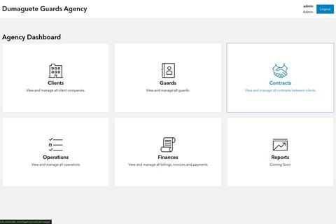
An enterprise resource planning system for security service companies, managing customers, security guard deployment, assignments, invoicing, billing, and payment tracking in one centralized platform.
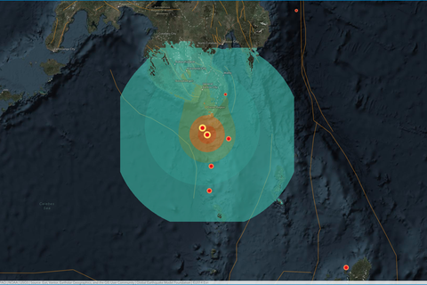
Interactive GIS story map documenting the June 8, 2026 magnitude 7.8 Southern Philippines earthquake using ArcGIS Maps SDK, React, TypeScript, and spatial visualization to communicate the event, epicenter, regional context, and earthquake awareness.
A CAD-to-GIS workflow for transforming water utility drawings into structured, connected, and map-ready infrastructure data. InfraLens bridges engineering CAD drawings and GIS so pipes, valves, meters, and other network assets can become usable spatial information for utility operations.
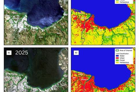
A GIS and remote sensing assessment identifying areas suitable for mangrove restoration and areas vulnerable to environmental pressures. The study combined satellite-derived spatial data with AHP to support more informed mangrove conservation and rehabilitation planning.
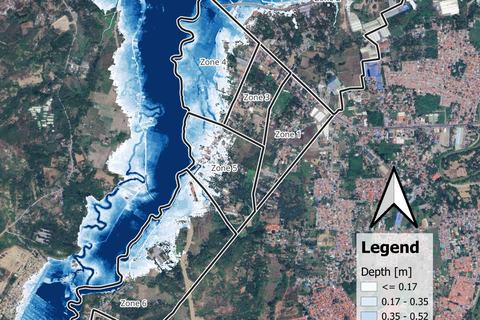
A watershed-scale flood assessment combining hydrological modeling, hydraulic simulation, land-use analysis, erosion assessment, and GIS-based hazard mapping.
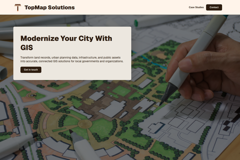
Official public-facing website and CMS for TopMap Solutions, showcasing its GIS services, projects, and company information.